EVENT
Gangwon
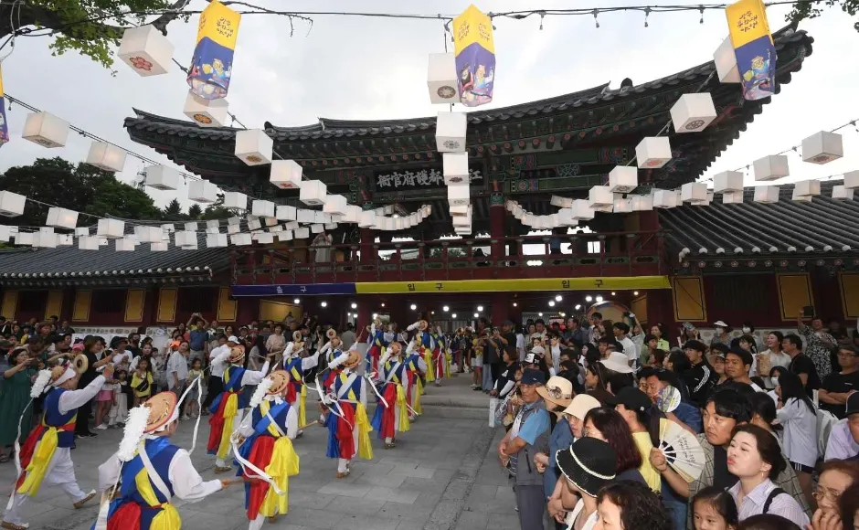
Gangneung National Heritage Night
Why go: Limited-time festival — plan around the dates
FEST
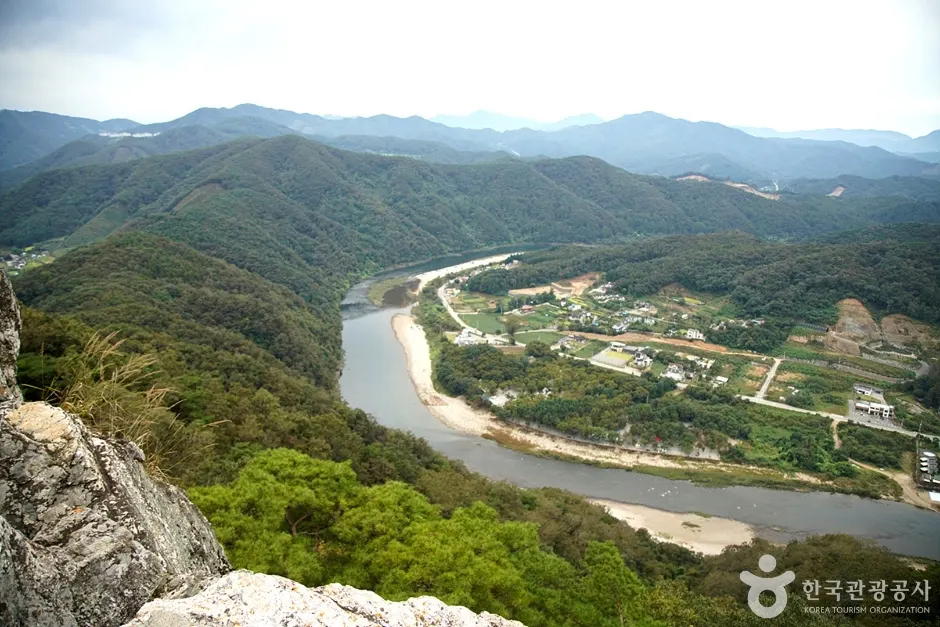
View![Korean Peninsula Terrain [National Geopark] (한반도지형 (강원고생대 국가지질공원))](https://trsaacctrizfabsdctkr.supabase.co/storage/v1/object/public/place-images/mirror/1126/1023-hero.webp)
Korean Peninsula Terrain [National Geopark] (한반도지형 (강원고생대 국가지질공원)) · © KTO · KOGL Type 3
Gangwon
Korean Peninsula Terrain [National Geopark]) is a curated attraction in Korea — full details, hours, and access info on the official Korea Tourism page.
The Korean Peninsula Terrain — part of the Gangwon Paleozoic UNESCO Global Geopark — is a natural meander of the Pyeongchang River that has carved an outline strikingly similar to the Korean Peninsula itself when viewed from a high observation deck above the river bend. The viewpoint is a 30-minute hike from the lower parking area, and the deck looks down on the ribbon of river curling around forested ground in the perfect peninsular shape, complete with eastern coast mountains and a southern peninsula tip. The Geopark interprets the terrain in its visitor center near the deck. About two hours including the hike. Pair with the Yeongwol Donggang and Cheongnyeongpo for a Yeongwol-Pyeongchang day.
Other places in Gangwon that pair well with this visit.
Gangwon
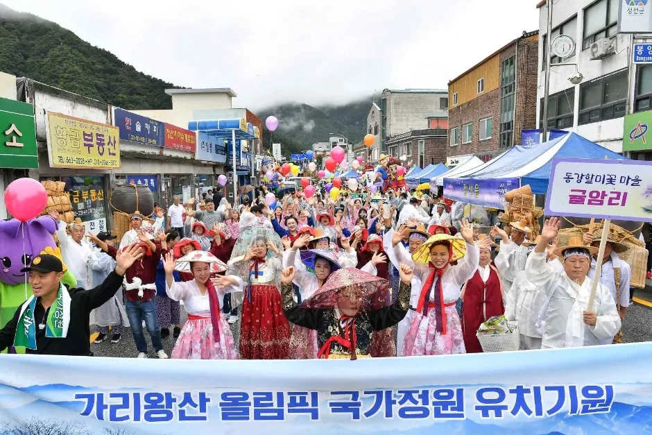
Why go: Limited-time festival — plan around the dates

Gangwon
Why go: Limited-time festival — plan around the dates


Gangwon
Local favoriteWhy go: Iconic stop curated by Korea Tourism Organization
Gangwon
Local favoriteWhy go: Iconic stop curated by Korea Tourism Organization

Gangwon
Local favoriteWhy go: Iconic stop curated by Korea Tourism Organization
Gangwon
Local favoriteWhy go: Iconic stop curated by Korea Tourism Organization
Gangwon
Local favoriteWhy go: Iconic stop curated by Korea Tourism Organization