POPULAR
Gyeonggi-do
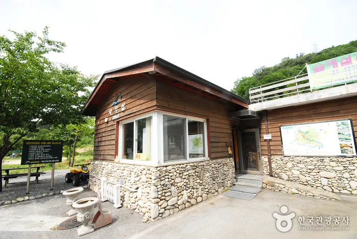
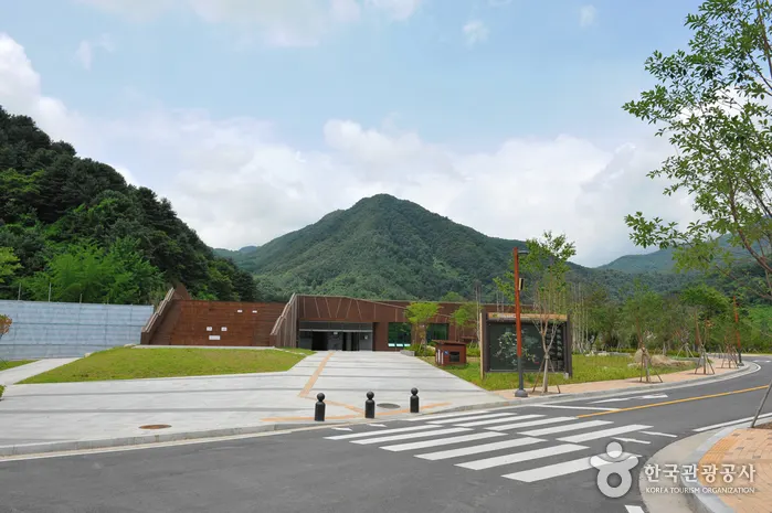
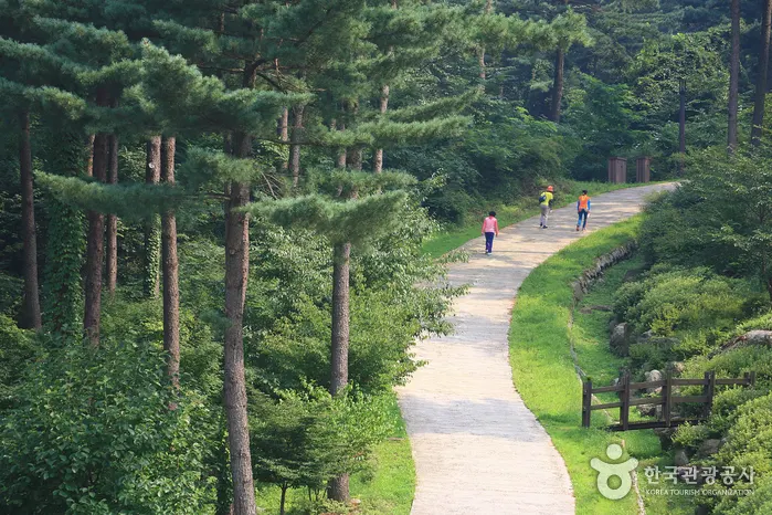
Local favoriteCheongpyeong Recreational Forest
Why go: Iconic stop curated by Korea Tourism Organization
ROOT
View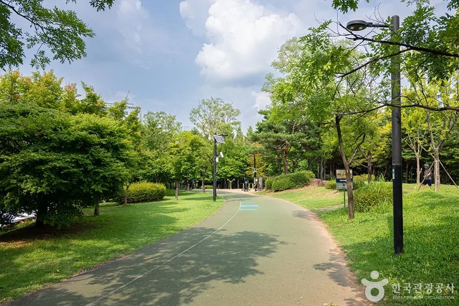
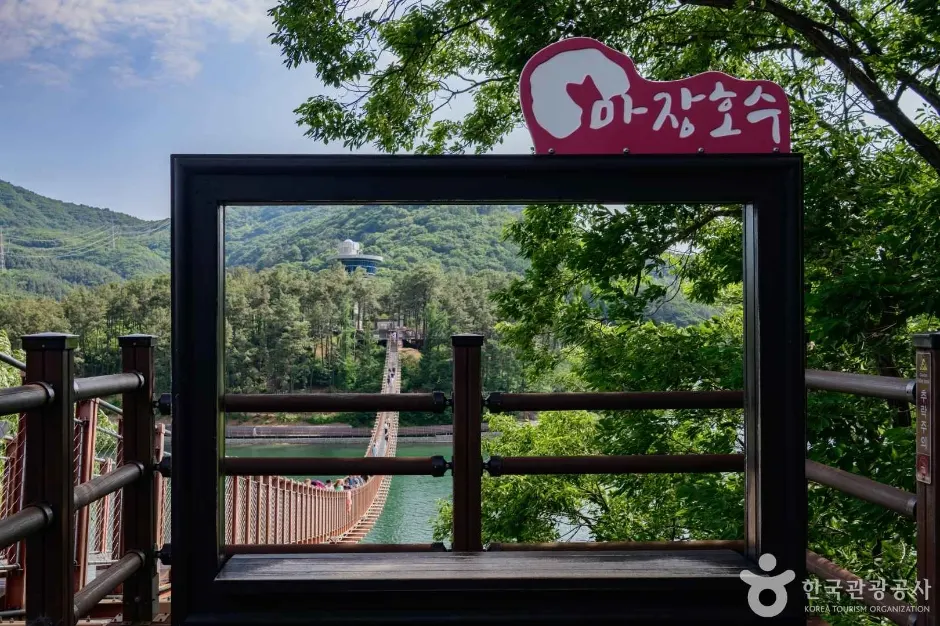
지도공원 · © KTO · KOGL Type 3
Gyeonggi-do
지도공원 is a curated attraction in Korea — full details, hours, and access info on the official Korea Tourism page.
Jido Park is a public neighborhood park in Korea, set up as a community-park space with green-space, walking paths, and recreational facilities designed for local-resident leisure use. The park combines walking-and-cycling paths through landscaped zones, themed garden zones with seasonal plantings, picnic-and-rest areas, a children's playground, supporting visitor infrastructure including parking, and basic restroom facilities. The park functions almost entirely as a local-resident space rather than a destination, useful as a quiet break stop on a wider regional walking day rather than a primary itinerary stop. Pairs naturally with broader regional neighborhood-walking itineraries for travelers seeking outdoor green-space breaks.
Other places in Gyeonggi-do that pair well with this visit.
Gyeonggi-do
Local favoriteWhy go: Iconic stop curated by Korea Tourism Organization
Gyeonggi-do
Local favoriteWhy go: Iconic stop curated by Korea Tourism Organization
Gyeonggi-do
Local favoriteWhy go: Iconic stop curated by Korea Tourism Organization
Gyeonggi-do
Local favoriteWhy go: Iconic stop curated by Korea Tourism Organization

Gyeonggi-do
Local favoriteWhy go: Iconic stop curated by Korea Tourism Organization
Gyeonggi-do
Local favoriteWhy go: Iconic stop curated by Korea Tourism Organization
Gyeonggi-do
Local favoriteWhy go: Iconic stop curated by Korea Tourism Organization
Gyeonggi-do
Local favoriteWhy go: Iconic stop curated by Korea Tourism Organization
![Yangju Olleung Royal Tomb [UNESCO World Heritage] (양주 온릉(단경왕후) [유네스코 세계문화유산])](https://trsaacctrizfabsdctkr.supabase.co/storage/v1/object/public/place-images/mirror/974/871-hero.webp)
Gyeonggi-do
Tourist landmarkWhy go: Iconic stop curated by Korea Tourism Organization
Gyeonggi-do
Local favoriteWhy go: Iconic stop curated by Korea Tourism Organization

Gyeonggi-do
Local favoriteWhy go: Iconic stop curated by Korea Tourism Organization
Gyeonggi-do
Local favoriteWhy go: Iconic stop curated by Korea Tourism Organization